- Whitehorse, YT to Dawson City, YT via YT 2 (The Klondike Highway)
Heading out of Whitehorse, we took a picture behind us. Whitehorse is in the valley, or canyon, of the Yukon River. The Alaska Highway and the Klondike Highway are up on the ridge.

Heading out of Whitehorse, there is more wilderness. It goes on and on.

The first crossing of the Yukon River is at Carmacks. They have this really cool sign for the village.

And of course, you cross the Yukon River.

A look at the Yukon River from the bridge.

This is the Five Finger Rapids on the Yukon River. Yes, the highway stays near the Yukon River for most of its run.

On the other hand, you also cross the Pelly River just before it joins the Yukon River. This is Pelly Crossing.

Next is Stewart Crossing, which crosses the Stewart River, just before it joins....

As we headed into Dawson City, the highway was blocked by a fairly serious accident. Fortunately we were able to take a side road through the bush.

The first "Welcome" sign for Dawson City.

This is the second Dawson City sign, so much more fun than the first one.

In order to get to the real "Dawson City", you have to cross the Klondike River. All along the edge of the river there are gravel piles from placer mining in the Klondike River.

Finally, the real Dawson City marker.

A western saloon housing a Chinese restaurant. Every town up here has its Chinese Buffet.

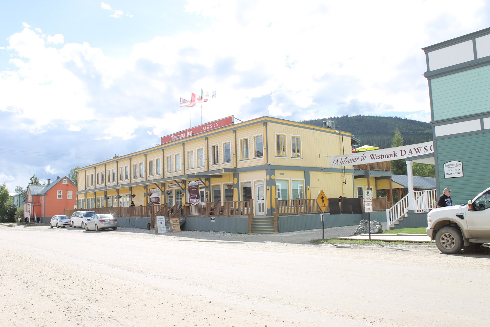
This is a look at our hotel. The Westmark Hotel actually has four different buildings, all fixed to maintain the character of the town.
There were a bunch of these old cars on parade through the town. They must have made the run up from Whitehorse. These are brave folks up here.

Looking across the street from the main hotel building, we are in the yellow section. Remember, these are all false fronts designed to maintain the character of the town.

So interesting Richard. you must be having a great time. Katherine too!
ReplyDeletelove you
Mom