Sunday, April 19, 2015

Home To Calgary

Travel Day
  • Moose Jaw, SK to Calgary AB via Trans Canada Highway

The Moose Jaw moose and one of the Snow Bird Aeronautics Team jets, just on the edge of Moose Jaw, SK.

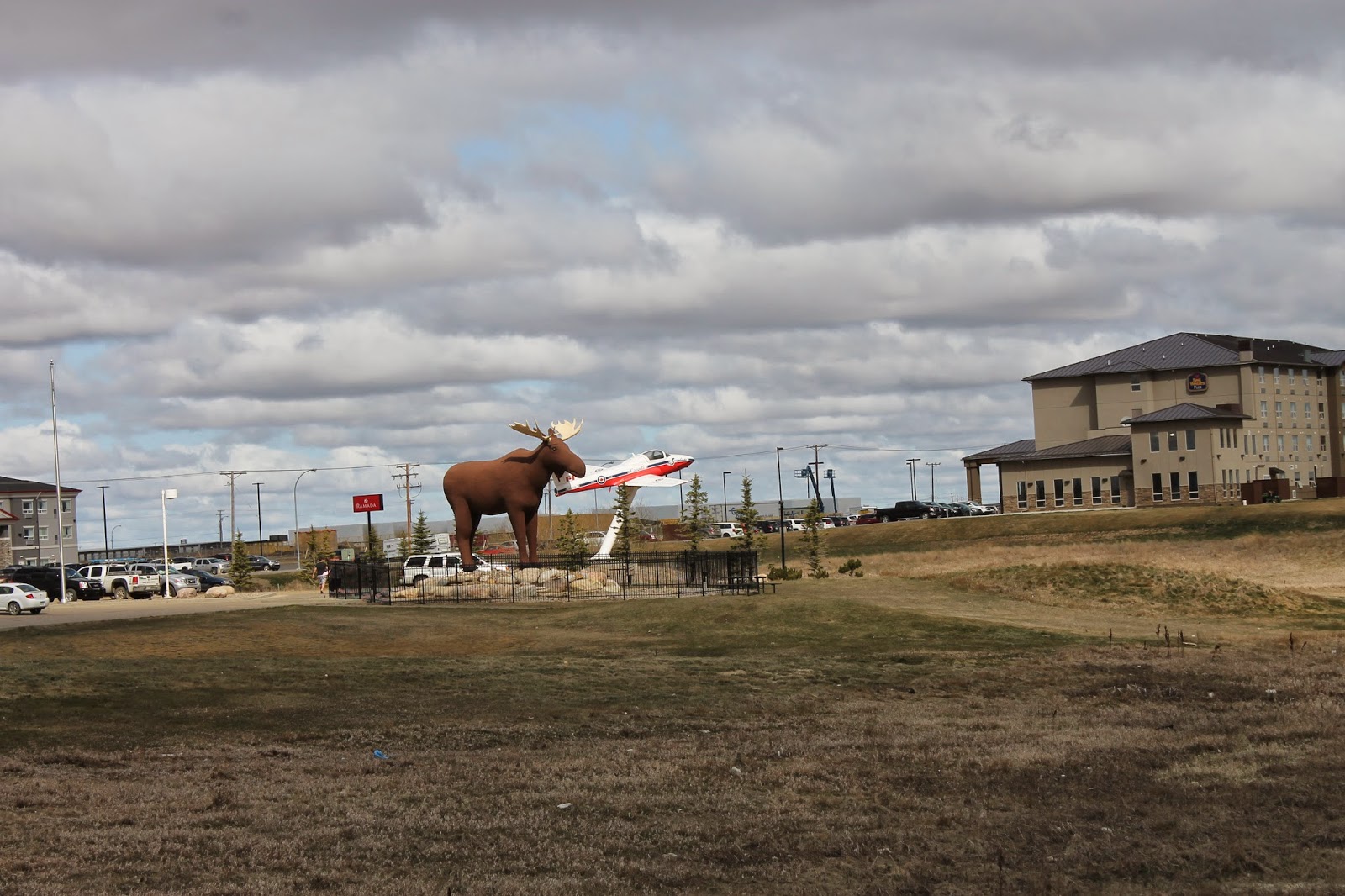
A closer shot of the moose. It's not what I would call entirely realistic. I think the Wawa goose is better.

No, the plane is not attacking the moose's butt. It just looks that way because of the angle of the picture.

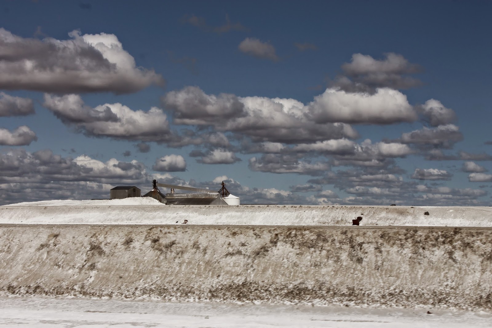
This is the sodium sulphate mine at Chaplin, SK. Sodium sulfate is an industrial salt used in making paper, producing soda ash, and in detergents.

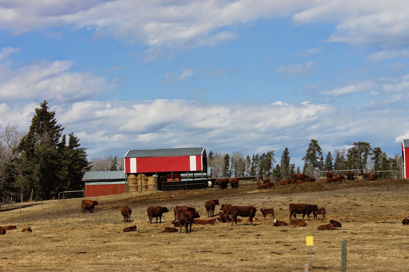
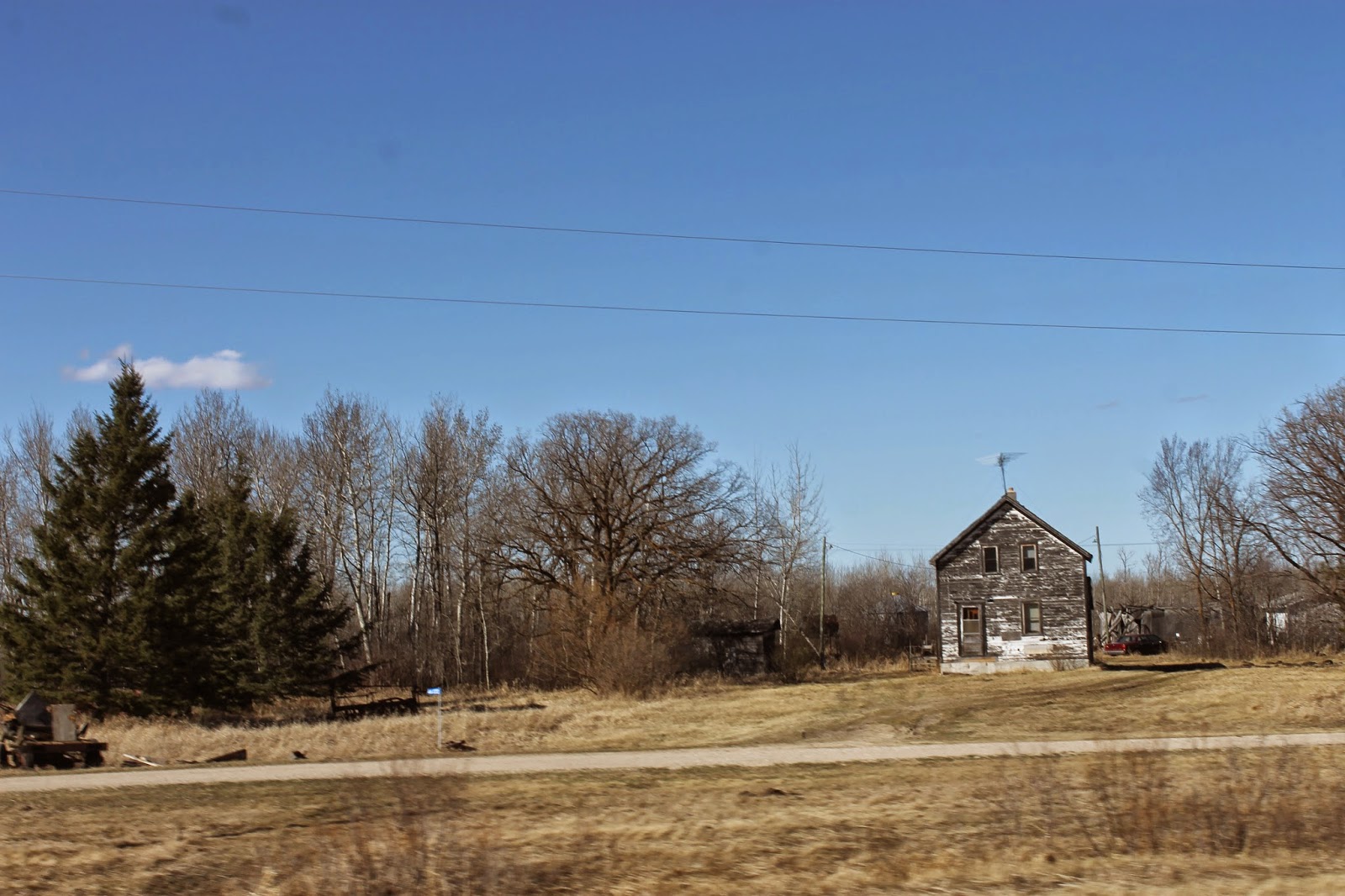
Another classic kind of agriculture picture from the prairies.

As you come into Swift Current, SK along the Trans Canada Highway, you pass this wind vane made from a helicopter. Why? I don't know. But it's there.

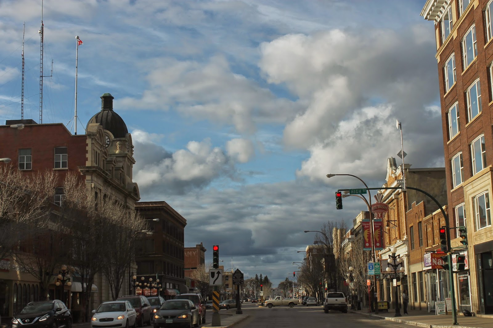
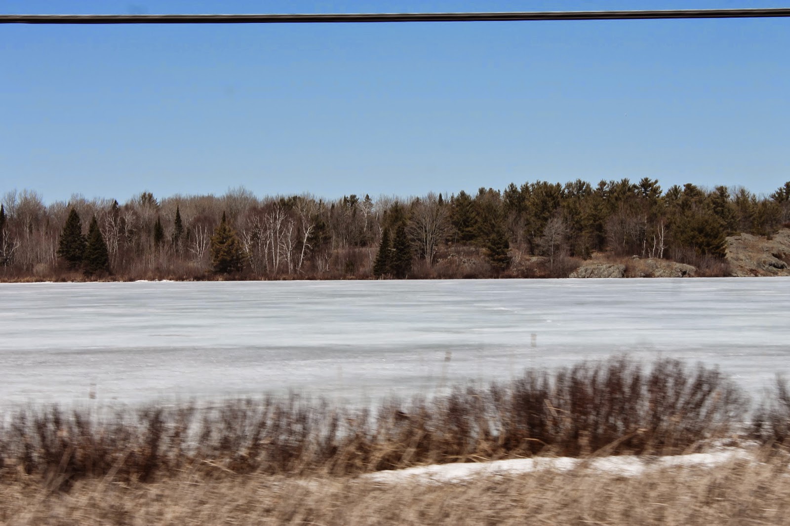
And into Swift Current we went. This is the town where we spent our first night of the road trip. We have come full circle.

Into Alberta. Almost home.

It may be an oil rich province, but there is still a lot of agriculture. This picture was taken in Wheatland County.

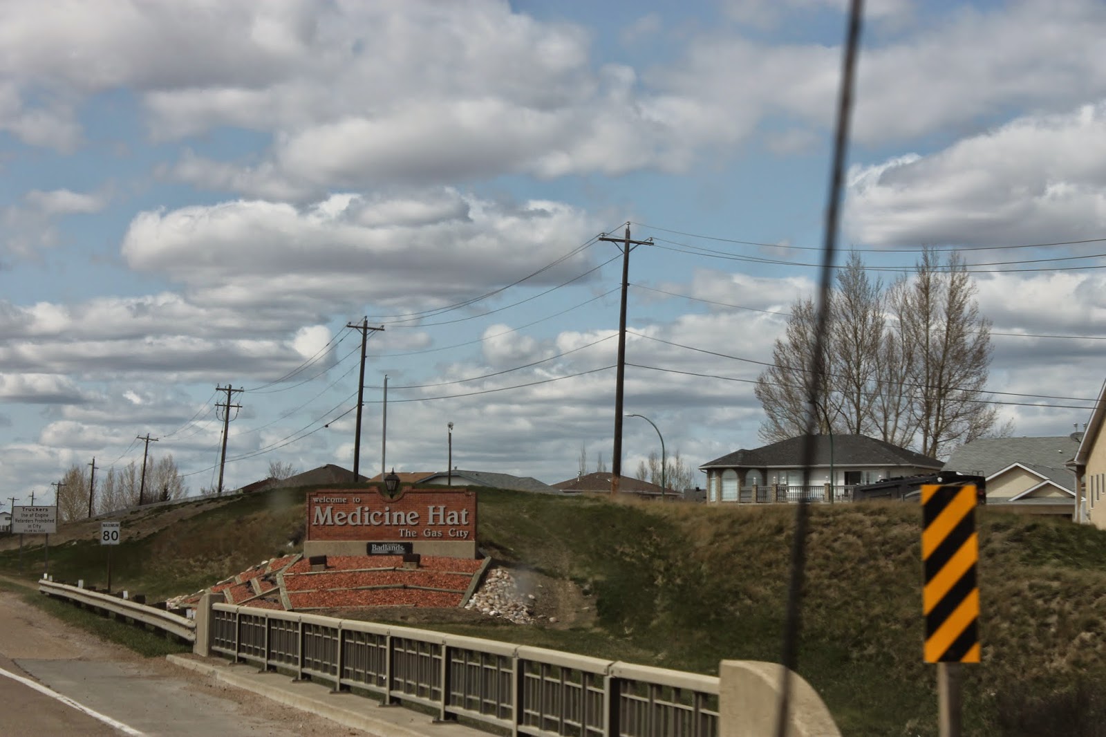
Onward, along Highway One, the Trans Canada Highway, onward into Medicine Hat, AB.

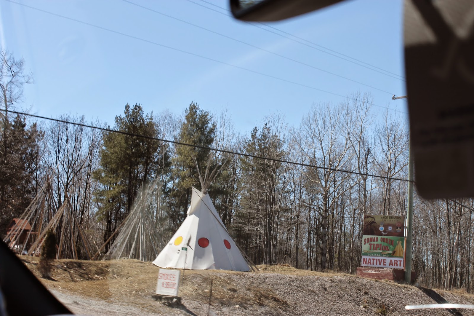
Medicine Hat is home to the world's largest tipi, or at least that is what they claim.

And then, homeward to Calgary. We did not go to Lethbridge. This is our last picture from the trip. 

Saturday, April 18, 2015

Moose Jaw? Yep, Moose Jaw.

Travel Day

  • Winnipeg, MB to Moose Jaw, SK via Trans Canada Highway, Victoria St. (Regina), Albert St. (Regina), Trans Canada Highway

On our way out of Winnipeg, it's the quintessential agri-business shot.

We went left. It just seemed to be the right thing to do.

From Manitoba into Saskatchewan.

Just after crossing the provincial border, we saw this slash burning effort on a farm. I guess they are taking out trees to plant more grain.

In response to the burning, the weather decided to make some dark clouds of its own. These ones included rain.

Regina is the capital of Saskatchewan, and the home of the Saskatchewan Roughriders. This is a CFL crazy kind of town.

Capital, and capitol buildings in Regina.

Queenie came to visit here a few years back.

So they put up this cool statue of her.

Even darker skies and more rain as we headed out of Regina, ever westward across the plains.

Yes, Katherine, there is a Moose Jaw.

Beautiful downtown Moose Jaw.

This is the army reserve armoury in Moose Jaw. Lots of cool military vehicles here.

Friday, April 17, 2015

Into The 'Peg

Travel Day

  • Thunder Bay to Winnipeg via Harbour Expressway (Thunder Bay), ON 17/Trans Canada Highway, Main St. (Winnipeg)
As you leave Thunder Bay, the rugged Canadian Shield softens. By the time you get to the Dryden area, there are plenty of small farms like this one.

It may be tough to tell in this picture, but apparently we are welcome in Manitoba.

It seems every province in Canada has these old barns on old farms.

We are headed for Winnipeg. Brandon is tomorrow.

Welcome to the Canadian prairies. It will look like this for a couple of days.

Here we are. Winnipeg.

Apparently we are welcome in Winnipeg too!

Winnipeg is the capital of Manitoba. So a shot of the parliament buildings seems in order.

As does a shot of what is reputedly the coldest street corner in Canada, Portage and Main in Winnipeg.

We finished our day with a wonderful dinner in the company of our friends Zanna and Louis-Phillipe.

Thursday, April 16, 2015

Wawa To Thunder Bay

Travel Day

  • Wawa, ON to Thunder Bay, ON via ON-17
Shortly after leaving Wawa, we began to see signs for White River, ON., birthplace of the bear which inspired A. A. Milne to write the Winnie the Pooh stories. In essence, White River is the birthplace of Winnie the Pooh.

White River celebrates this bit of literary history with a wonderful Winnie the Pooh park as well as an annual Winnie the Pooh festival. We decided to head in.

The Winnie the Pooh statue at the park.

On leaving White River, we headed for Thunder Bay. It's pretty much a full day drive from Wawa to Thunder Bay, all of 6 hours or more, depending on stops.

There is a fair bit of mining in this part of Ontario. This is the Barrick Gold mine.

Putting in a highway pretty much anywhere in the mountains means cutting roads into the hillsides. This is the going up side of the hill.

This is the going down side of the hill, with Lake Superior at the bottom of the hill.

As you approach Thunder Bay, you can visit the Terry Fox Memorial and lookout. We decided to stop.

The Terry Fox story.

A look down the pathway towards the Terry Fox statue.

Terry Fox.

A look from the scenic lookout over Lake Superior towards Thunder Bay. Those are cargo ships out there. The shipping season started about a month ago but I am guessing these ones are stuck in the ice.

The Current River in Thunder Bay. As you can see, where the water is running the river is ice free.

Thunder Bay is a busy grain port. Here is just one of the grain terminals.

Wednesday, April 15, 2015

Sudbury To The Soo, And Wawa Too

Travel Day
  • Sudbury, ON to Wawa, ON via Lorne St. (Sudbury) and ON-17

We left Sudbury this morning and headed west, towards a small town called Espanola. It is the home to a Domtar pulp and paper mill. This is the view of the mill from the land side.

Then there is the water side. Pulp and paper mills need a lot of water. Domtar gets it from this lovely little river and waterfall.

As we headed from the rock hard mining country towards the Great Lakes, we saw more of this small agriculture along the way.

Katherine saw this tipi and thought it was pretty cool.

Pretty much every lake along the way is still frozen up here, not just the little ones like this one, but the big ones too.

On almost every farm we passed, there was an old barn like this one, in various states of collapse. It's a harsh environment up here.

We stopped at a small town along Lake Huron called Bruce Mines. Katherine liked this goose.

As with most small towns in this part of the country, the nicest homes are along the lake front.

Speaking of the the lake, Lake Huron is still frozen over.

We headed into Sault Ste. Marie for coffee and supplies, then hit the road again.

Yep, we are headed to Wawa, Ontario today.

Speaking of Wawa, it has a lake. The lake is still frozen.

Katherine was impressed with the size of this pile of snow in a local parking lot.

The other thing that Wawa is famous for is its statue of a goose. This is NOT the Wawa goose, but another goose on a local motel.

Then there is this goose in a local park. They've got a thing for gooses up here.

Finally, the official, real Wawa goose. It was built in 1963 to commemorate the completion of the Trans Canada Highway to Wawa in 1960. Before that, the only access to Wawa was by train. Wawa means "land of the big goose" in Ojibway, so it kind of makes sense to have this monument here.

Our motel looks over Lake Superior, also still frozen over. Although you cannot see the lake in this picture, you sure can see the colours of the setting sun.