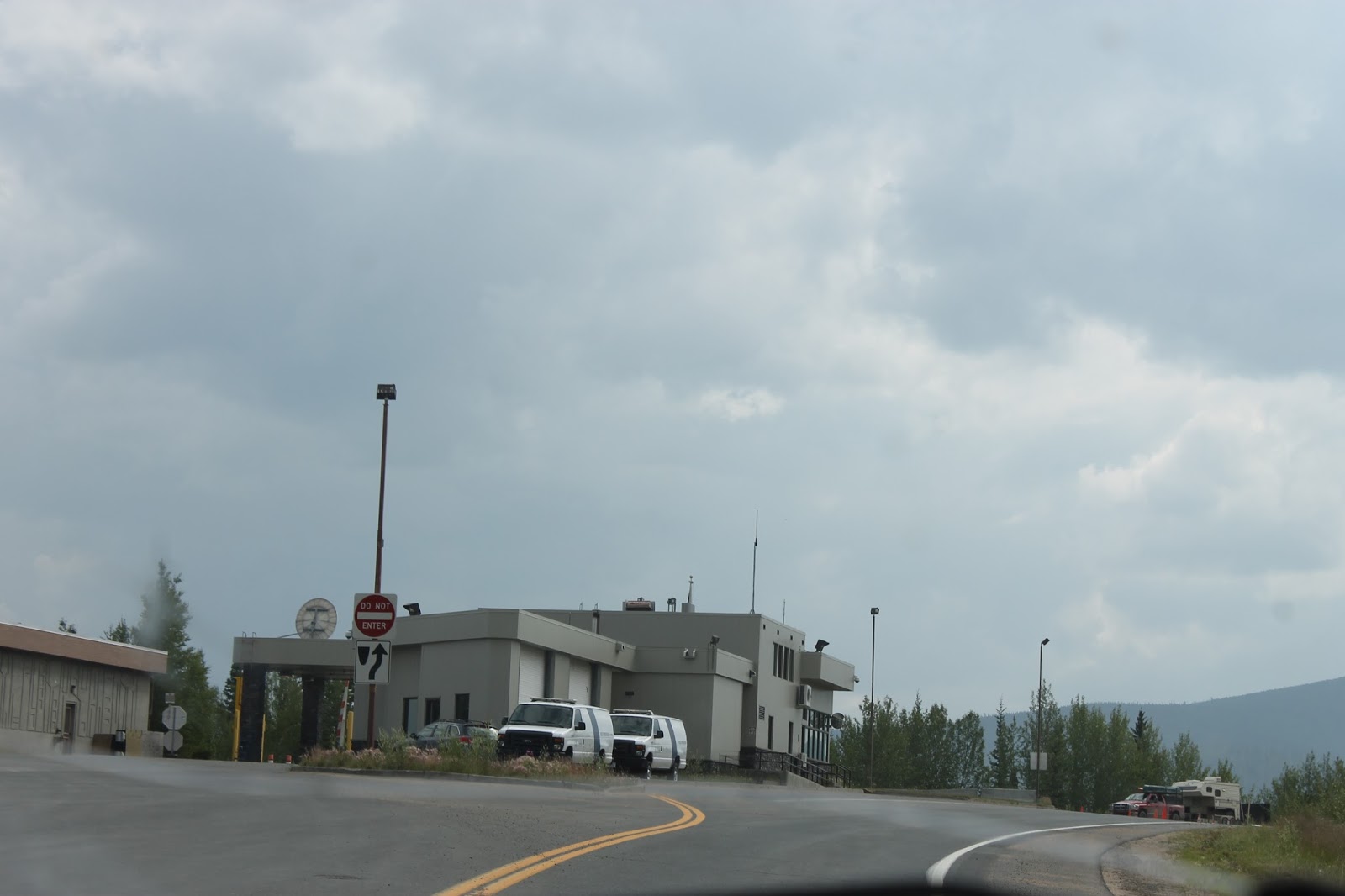
Sunday, July 12, 2015

Critter Day

Travel Day

  • Watson Lake, YT to Fort Nelson, BC via YT-1 and BC-97 (The Alaska Highway)

We were no more than about 10 minutes out of Watson Lake when we saw this fellow marching along beside the road.
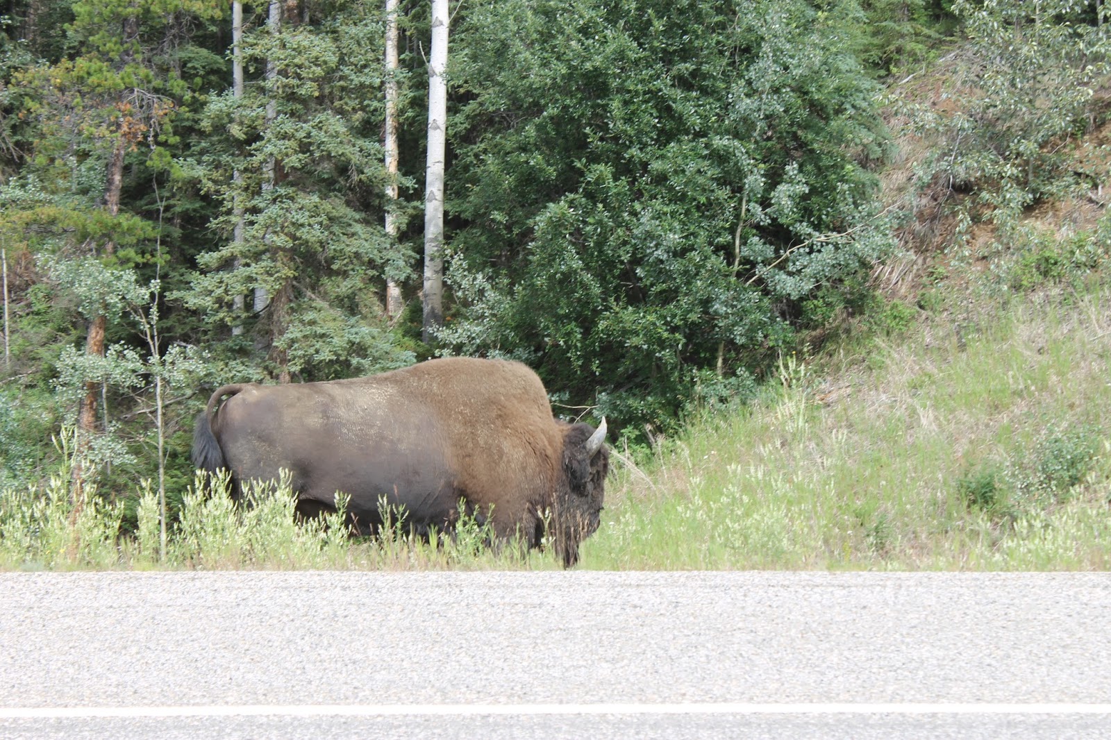
"It's a long, long road, with many a winding turn..." Lyrics from The Hollies song, He Ain't Heavy.

That haze in the air is more smoke from nearby forest fires.

A little further along, we met another solo buffalo, walking along beside the road.

As we approached Coal River, the smoke became heavier and thicker.

Once we passed Coal River we came upon this herd of cows and calves.

A last look at the Liard River, the separator of the Rockies from the Yukon Mountains.

Then we saw this little guy digging up the roadside, looking for ants and grubs. He seemed to be doing pretty well at it.

There was road construction a little further along and it was there that we found this herd of Stone Sheep. They were liking minerals off the rocks exposed by the constructions.

Yep, I'm pooping. Go ahead, take my picture. See if I care!
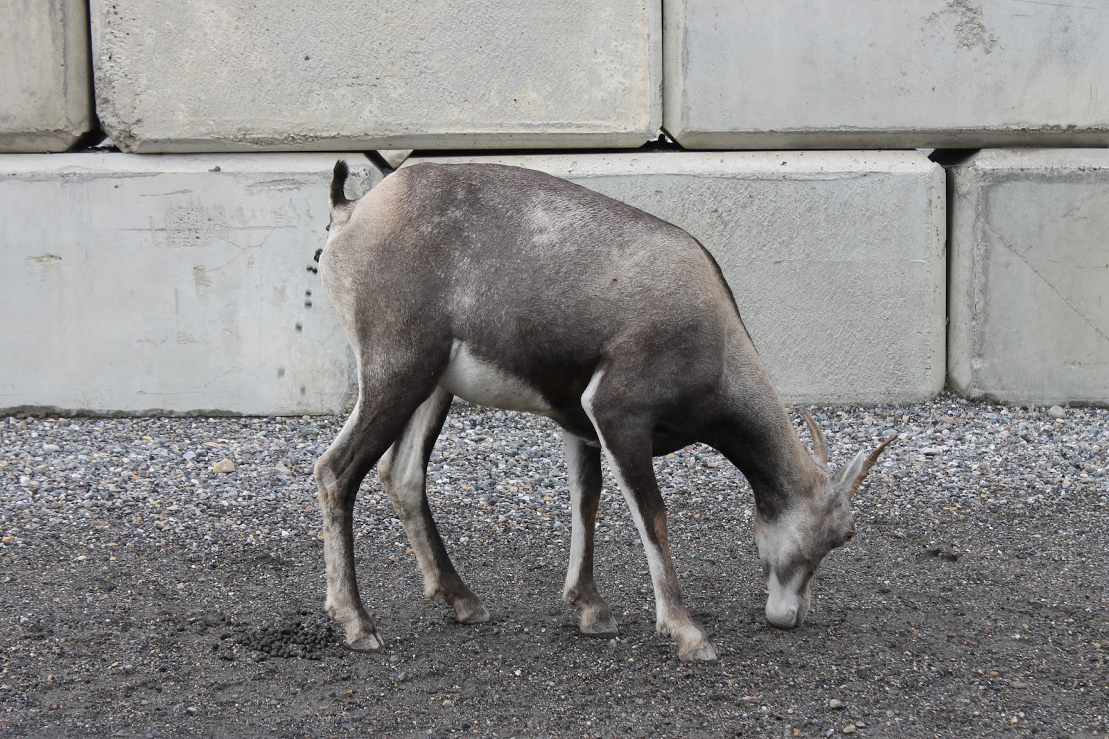
Another look at the group. Yes, that is a male in the middle.

We decided to stop by Muncho Lake so I could do a bit of fishing.

As we pulled over we caught sight of this loon. He took off as soon as we stopped.

Katherine got out my fishing gear for me and I tried my luck.

As I was fishing, a Momma duck brought the babies out for a swim.

While we were parked, we began to hear rocks tumbling down the hillside across the road. We decided it might be unwise to park and fish in an avalanche area. We headed out.

No sooner were we back on the road towards Fort Nelson than we saw another black bear rooting about for dinner.

Are those clouds out there or is that forest fire smoke? You try to figure it out.

Another picture. Clouds or smoke? Well, it was clouds. There were no signs of forest fires after Coal River.

We arrived at Fort Nelson. That symbol for the town is actually a bear. Apropos!

Saturday, July 11, 2015

Whitehorse Back to Watson Lake

Travel Day
  • Whitehorse, YT to Watson Lake, YT via YT-1
When we left Whitehorse in the morning, the weather was threatening rain once again. The night before it had rained heavily, with lightening and thunder as well.

The rain showed up and stay with us pretty much the whole day.

When we got to Teslin Lake there was this terrific squall crossing the middle of the lake, heading for shore. Katherine thought it might be a good idea to go out into the storm to take some pictures.

The spots on the picture are from raindrops blowing sideways onto the camera lens.

That grey sheet over the lake is rain headed for us.

After the lake, we headed into the village.

At the Yukon Motel, they have these two statues outside the gift shop. They are very realistic.

These guys, on the other hand, may not be as realistic but they are very cute.

After Teslin, the road takes you into BC for a short bit.

The weather in BC was just as rainy as the weather in the Yukon. Good news for the fire fighters.

Back into the Yukon, headed for Watson Lake.

"It's a long, long trail a-winding, into the land of my dreams". Lyrics from a song popular in the First World War.

We arrived back at Watson Lake.

The town of Watson Lake has lined the main highway with flags from around the world.

Friday, July 10, 2015

Back On The Alaska Highway To Whitehorse

Travel Day

  • Tok, AK to Whitehorse, YT via AK-2 and YT-1 (The Alaska Highway)
We left Tok and after a while we saw this little guy alongside the highway, happily eating away at a huckleberry bush. It's a juvenile Grizzly Bear, most likely a two year old.

The results from the many forest fires this season are all to plain along the highway.

The haze in the air is smoke from a few different fires along the way.

This is the US Border Crossing. Please note the absence of a Canadian counterpart. You just keep driving.

You are welcomed to the Yukon, but still no border crossing.

Then, about 30 KM later, you arrive at the Canadian side. Due to permafrost and muskeg, there is no suitable building spot for the port of entry until here. And after all, it's not like you're gonna go anywhere along the way. It's nothing but muskeg.

On occasion the muskeg produces small lakes and ponds. Here is a pair of Trumpeter Swans settled in for the summer.

The Arctic wildflowers are starting to bloom all over the place; purples, whites, blues, yellows, a profusion of colour to brighten the drive.

The weather threatened, and delivered, rain almost all day. It's helping with the fire situation.

Haines Junction is the only major junction, or town, between Tok and Whitehorse. From here you can go south to Haines, AK, or continue east to Whitehorse, YT.

They have this really cool monument right at the junction.

And a while later, we are in Whitehorse, having completed the circle from Whitehorse to Dawson, to Inuvik, back to Dawson, to Tok, to Fairbanks, to Anchorage, back to Tok via the Glenn Highway, and finally back to Whitehorse. We've done the whole of the Alaska Highway along with the Klondike Highway, the Dempster Highway, the Top of the World Highway, the Parks Highway, and the Glenn Highway.

Thursday, July 9, 2015

Return To Tok, AK

Travel Day

  • Anchorage, AK to Tok, AK via AK-1 (Glenn Highway)
As you leave Anchorage and head up to Wasilla, you head into what is known as the Mat-Su Valley. It's a conflation of Matanuska and Susitna, two of the key rivers in the region. The Glenn Highway follows the Matanuska River.

The Matanuska is one of those classic gravel pan rivers left behind in a wide U-shaped valley as a glacier retreats. The valley itself goes from fairly gentle to fairly rugged in places.

I've seen this kind of thing done before, on the Trans-Canada Highway near the Kicking Horse River. If the rock is in the way, you can either go around it or through it.

At the head of the Matanuska Valley is the Matanuska Glacier. They call it "road accessible" because you can get fairly close by road.

It's a fair sized glacier, four miles long across the front, running 26 miles up into the mountains.

Once you get up past Matanuska, you get into the high country. This kind of mixed tundra, boreal forest is everywhere up here.

We came across the Tazlina River along the way, so we stopped to take some pictures.

While we were stopped, this fellow put on a flying show for us, riding the updraft from the highway, circling around several times, before heading off up the hillside.

There's a lot more road up here, and a long way to Tok. It started raining about halfway through our day.

Even with the rain, the views of the mountains in the distance were very pretty.